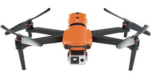
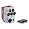
DII uses the Micasense Altum-PT, from Ag Eagle Aerial Systems Inc., to assess vegetation stress and damage to vegetation. This multispectral camera collects information in the visible bands (blue, green, red), RedEdge, near-Infrared and thermal bands.
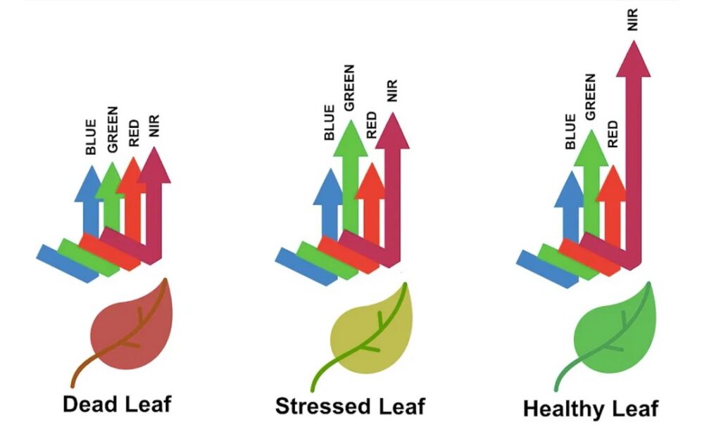
Why use multispectral?
This payload is commonly used in agriculture to monitor vegetation health and research because of the sensitivity and spectral response in the red, RedEdge, and near-Infrared (NIR) bands. Vegetation is highly responsive in the near-Infrared band followed by the red band. The red-Edge band is particularly useful to distinguish between types of vegetation and in their lifecycle because of chlorophyll absorption in these wavelengths.
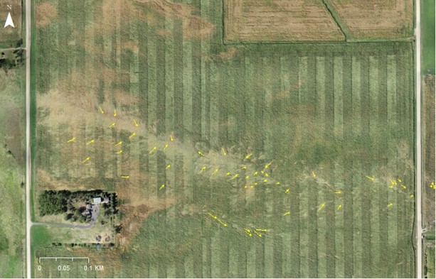
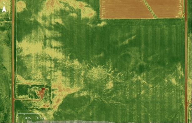
Damage to cornfields in Iowa in the August 10, 2020 Midwest Derecho. Wagner, M.A., 2020. Collaborative Research: RAPID-Multi-Scale Investigation into the Storm Processes of the 10 August 2020 Midwest Derecho. NSF Award Number 2054677. Directorate for Geosciences, 20(2054677), p.54677.